by Morgan State U
November 18, 2025
Morgan State University’s SMARTER Center Utilizes LiDAR Technology to Study Dangerous Intersections and Monitor Highway Road Conditions
Research supports implementing innovative, data-driven solutions to reduce crashes, improve roadway safety, and safeguard construction workers across Maryland
Baltimore — The Safety and Mobility Advancements Regional Transportation and Economics Research (SMARTER) Center at Morgan State University is advancing transportation safety with the assistance of two initiatives that integrate Light Detection and Ranging, also known as LiDAR technology, with other data collection and computing systems. Through these initiatives, which protect roadway workers and improve urban traffic safety, the SMARTER Center continues to strengthen Morgan State University’s leadership in transportation innovation, intelligent infrastructure, and public safety research. By combining advanced LiDAR sensing, predictive analytics, and real-world partnerships, SMARTER’s work is creating safer, more intelligent, and connected roadways for communities across the region.
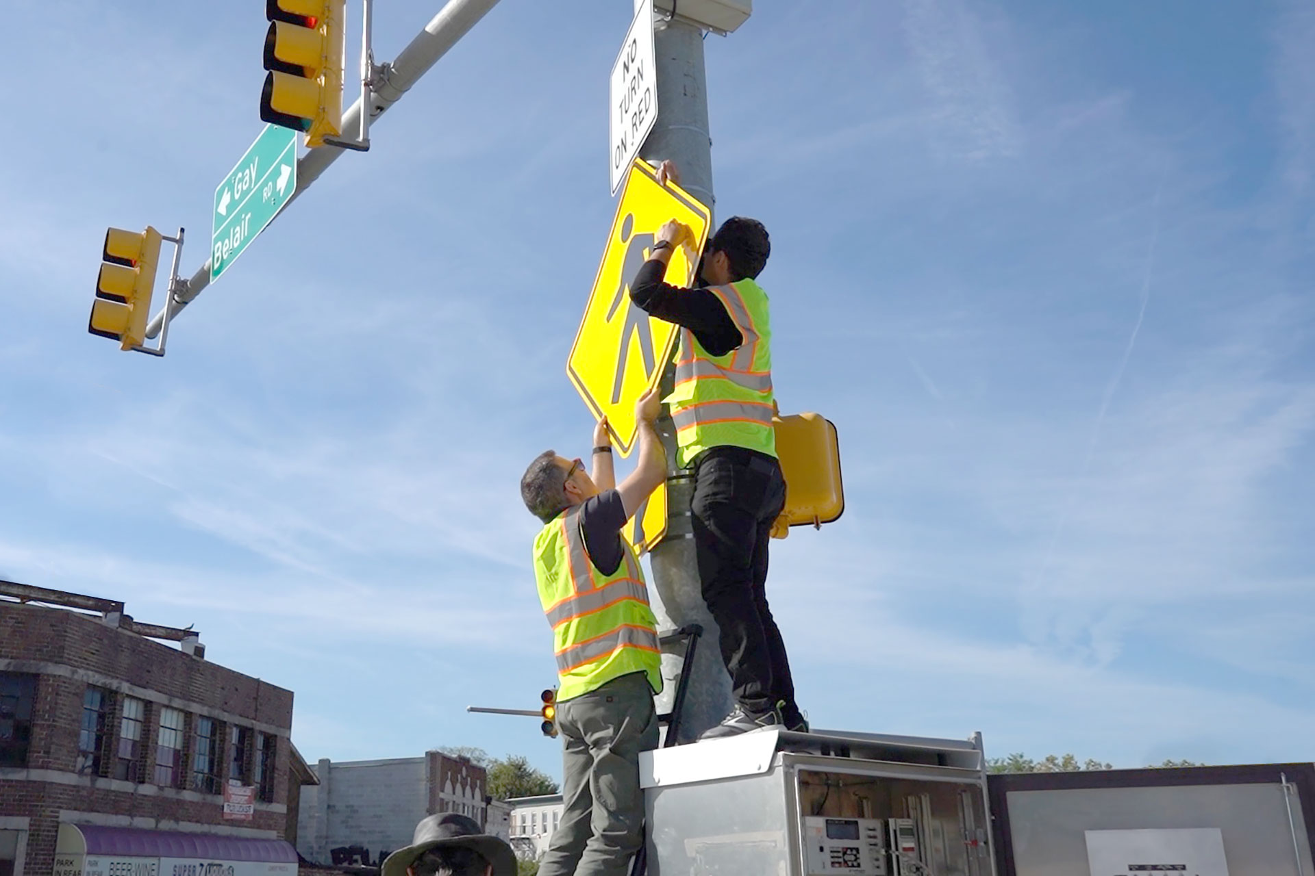
Portable LiDAR Detection and Communication System to Improve Traffic Safety at Nine Key Intersections
The first research project is currently underway in collaboration with the Baltimore City Department of Transportation. At nine intersections across three major traffic corridors in the city, traffic measurement devices known as Portable Detection and Communications Systems (PDCS) are being deployed to collect critical data on traffic conflicts, red-light violations, and pedestrian activity outside of designated crosswalks. A tenth location along Maryland Route 195 is also being evaluated as part of a before-and-after study in partnership with the Maryland Department of Transportation. The PDCS combines LiDAR systems with cameras, a modem, and edge computers to collect three-dimensional metrics from the traffic environment in real time. The information gathered from these locations will help officials identify optimal safety interventions and infrastructure improvements to reduce crashes and enhance pedestrian safety.
Early results from several deployment locations reveal significant improvements in traffic safety and invite future interventions. Along Maryland Route 195, PDCS units verified that the introduction of speed cushions achieved average speed reductions of 10-12 mph among drivers. Pedestrians also took more uniform, predictable paths when crossing, indicating an increase in perceived safety. At the intersection of Gay and Preston Streets in Baltimore City, data collected from a PDCS found that over 2,000 red light violations were recorded over the ten-day study period. This intersection also saw the highest proportion of pedestrians crossing the road outside of a designated crosswalk at 27.5%, likely indicating that the existing infrastructure does not meet pedestrians’ needs and preferences.

Raw data collected by the PDCS systems are analyzed by Morgan State researchers and shared with state transportation officials in the form of periodic reports. These reports identify hazardous traffic patterns and present detailed data visualizations of vehicle and pedestrian activity.
“Our goal is to harness cutting-edge technology to make transportation safer for everyone—from the workers maintaining our roadways to the pedestrians and drivers navigating them,” said Mansoureh Jeihani, Ph.D., director of the SMARTER Center and professor of Transportation Engineering at Morgan. “By integrating LiDAR data and predictive algorithms, we can identify hazards before they happen and prevent crashes in real time.”
The portable LiDAR units are part of SMARTER’s growing suite of Connected and Automated Vehicle (CAV) technologies aimed at improving roadway safety and mobility through advanced sensing and communication systems. Earlier SMARTER initiatives—such as the SMART Intersection and SMART Corridor systems launched along Baltimore’s Hillen Road corridor in 2022—use LiDAR, CCTV cameras, networked computers, and roadside units to detect and alert drivers and pedestrians to potential conflicts in real time. These efforts reflect the SMARTER Center’s efforts to implement the “Smart City” concept in Baltimore in partnership with local leaders. This approach integrates digital elements into the city’s physical infrastructure, connecting them through computer networks to move people and goods through the city safely and efficiently.
Intelligent Warning System to Protect Construction Workers in Active Work Zones
 The SMARTER Center is introducing an intelligent work zone warning system designed to protect construction crews operating in high-risk traffic environments. Utilizing LiDAR sensors and a network of connected computers, the intelligent work zone warning system delivers real-time alerts to both drivers and work zone operators when an elevated crash risk is detected.
According to data from the Maryland Department of Transportation (MDOT) / Maryland State Highway Administration, between 2019 and 2023, there were about 7,110 work zone-related crashes across the state, averaging more than 1,400 per year. These resulted in approximately 2,587 injuries and 45 deaths, which include drivers and passengers as well as work zone (construction/maintenance) crews. In 2024, Maryland saw more than 1,300 work zone crashes.
 Using trajectory data gathered from LiDAR sensors, the system’s edge computer applies a time-to-collision predictive algorithm developed by the SMARTER research team to evaluate potential hazards based on vehicle speed and proximity. When a potential collision risk is identified, the system simultaneously issues alerts to work zone personnel.
Work zone operators receive multiple alerts, including an audible notification (a loud beeping sound), a haptic buzz delivered through a small wearable device, and a flashing solar-powered light. Passenger vehicles equipped with advanced communications technologies, known as connected vehicles, can also receive visual warnings as they pass through the work zones.
The SMARTER Center has partnered with the Baltimore City Department of Transportation, the Maryland Highway Safety Office, Mead & Hunt, and P. Flanigan & Sons, a Baltimore-based civil construction contractor, to deploy and test the system in real-world work zones. Currently, transportation researchers are building the system, testing it in the lab, and preparing for field deployment in an active construction zone in Baltimore City. A provisional patent is currently being pursued for the technology.
About The SMARTER Center at Morgan State
The SMARTER Center is a USDOT Region 3 University Transportation Center dedicated to enhancing the mobility of people and goods in the Mid-Atlantic. It carries out a comprehensive program of research, education, and technology transfer. Established with a $15 million grant from the U.S. Department of Transportation in 2023, it is the first USDOT Regional University Transportation Center led by an HBCU at Morgan State University.
About Morgan
Morgan State University, founded in 1867, is a Carnegie-classified high research (R2) institution offering more than 150 baccalaureate, master’s degree, doctorate and certificate programs. As Maryland’s Preeminent Public Urban Research University and the only university to have its entire campus designated as a National Treasure by the National Trust for Historic Preservation, Morgan serves a multiethnic and multiracial student body and seeks to ensure that the doors of higher education are opened as wide as possible to as many as possible. For more information about Morgan State University, visit www.morgan.edu.
# # #
Media Contacts:
Cheryl Stewart or Larry Jones, for Morgan State University PR
443-885-3022
or
Joseph Niehaus, for the National Transportation Center at Morgan
443-885-3666
Contact Information
Office of Public Relations & Strategic Communications
1700 East Cold Spring Lane
McMechen Hall Rm. 635
Baltimore, Maryland 21251
Contact Information
Office of Public Relations & Strategic Communications
1700 East Cold Spring Lane
McMechen Hall Rm. 635
Baltimore, Maryland 21251